Spanish National Center for Geographic information (IGN)
Maps and cartographical content interlinked in a geographical Knowledge Graph
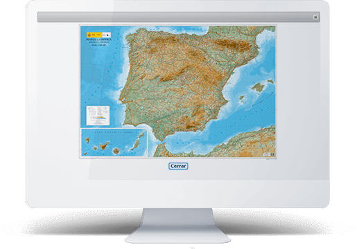
GNOSS is building a Knowledge Graph for the Spanish National Center for Geographic Information (CNIG) (Centro Nacional de Información Geográfica) through the semantic representation of content included on its website that are linked to the Download Center, Online Shop, historical catalogue and the CNIG catalogue.
- Cliente
- Administración Pública
Among other functions, the Instituto Geográfico Nacional de España (IGN) (Spanish National Center for Geographic Information) develops programming for cartographic planning on a national scale (Plan Cartográfico Nacional) and the production, updating, and exploitation of national cartographic and topographical databases for their integration into geographic information systems. This institution falls within the domain of the Directorate General of the Ministry of Development of the Government of Spain.
Semantic layer over Liferay
Of the 14 web portals existing at the CNIG built using Liferay as content manager, 4 of them include a semantic layer developed by GNOSS.
The goal was to improve the experience offered by the website in terms of information retrieval.

Data portability and interoperability
The European INSPIRE initiative promotes the creation of a vast spatial database that is interoperable throughout Europe. The representation of content in RDF/OWL is one more step to being able to obtain interoperable portals and data.

A new website experience
The final aim is to achieve a situation in which any citizen is able to efficiently obtain and download or purchase maps created and edited by the CNIG in a straightforward, practical manner. The formation of a Knowledge Graph makes this advantageous exploitation possible for the end user.

Caso de Éxito

